

New Zealand Antique Prints
& Rare Books
The On-line
Gallery
Books may also be seen at:
New Zealand Birds’
(The Greytown Gallery)
65 Wood Street
Post Office Box 146
Greytown, 5742
Wairarapa
New Zealand
Mobile: +64 (0)27 508 5078
narena@nzbirds.com
There are three New Zealand Lands & Survey reports listed on this page:
1) Report for the Year 1893-94, Paper cover (SOLD)
2) Report for the Year 1894-95, Paper cover (SOLD)
3) Report for the Year 1902-03, Paper cover (SOLD)


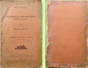
Department of Lands and Survey, New Zealand (SOLD)
Report for the Year 1893-94
Stephenson Percy Smith, Esq., F.R.G.S., Surveyor-General.
Wellington. By Authority: Samuel Costall, Government printer. 1894.
With topographicl plans of Waiho Countrry (Franz Josef Glacier) and a foldout drawing of Mount Tarawera and Lake Rotomahana plus many more images.
Multiple maps, drawings, surveys, diagrams and photo-lithographs.
Condition: Fair, covers chipped, many pages bent, some pages torn.
pp.137
paper cover.
Size: 33.5cm x 21.5cm
Price: US$125.00
(price includes shipping)
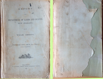 Front & back covers
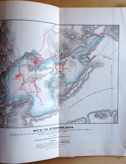 Map of the Rotomahana Basin
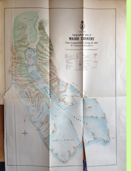 Topographical plan of Waiho Country from 1893 survey, showing Franz Josef Glacier
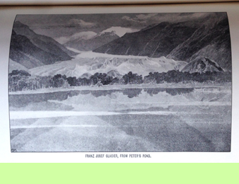 Franz Josef Glacier, from Peter's Pond
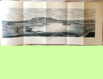 Mount Tarawera and Lake Rotomahana, 71cm x 29cm
Department of Lands and Survey, New Zealand (SOLD)
Report for the Year 1894-95
Stephenson Percy Smith, Esq., F.R.G.S., Surveyor-General.
Wellington. By Authority: Samuel Costall, Government printer. 1895.
Reports by Richard Henry to the Surveyor General. Includes map of Resolution Island plus many other maps, tables and photographs.
Multiple maps, drawings, surveys, diagrams and photo-lithographs.
Condition: Good, covers chipped, some foxing, photo-lithographs mostly clean.
pp.182
Paper cover
Size: 33.5cm x 22cm
Price: US$150.00
(price includes shipping)
 Front & back covers
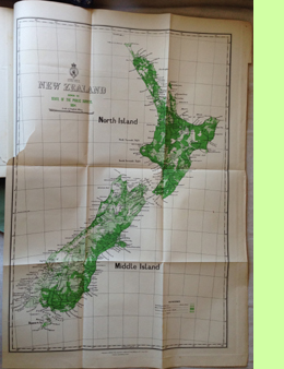 New Zealand showing the State of the Public Surveys, 1895
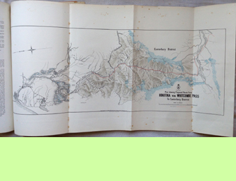 Plan shewing Proposed Route from Hokitika via Whitcombe Pass to Canterbury District
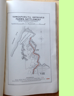 Tongaporutu improved farms settlement
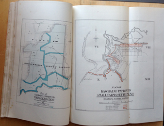 Taihape improved farms settlements [l] & Kawhatau improved small farms settlement [r]
Department of Lands and Survey, New Zealand (SOLD)
Report for the Year 1902-1903
J. W. A. Marchant, Surveyor-General.
Wellington. By Authority: John Mackay, Government printer. 1903.
Multiple maps, drawings, surveys, diagrams and photographs.
Condition: Good, with chipping to covers, minor foxing to some later pages.
pp.239
Paper cover
Size: 33.5cm x 22cm
Price: US$105.00
(price includes shipping)
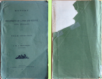 Front & back covers
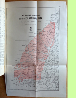 Map showing boundary of Proposed National Park, Southland
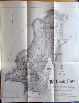 Map of the Mt. Cook Dist. Shewing the Hermitage Accommodation House maountain ranges, glaciers, tracks, reserves etc.
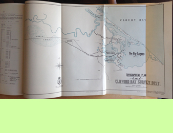 Topographical plan of part of Clifford Bay Survey Dist.
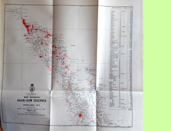 Map showing Kauri-gum Reserves